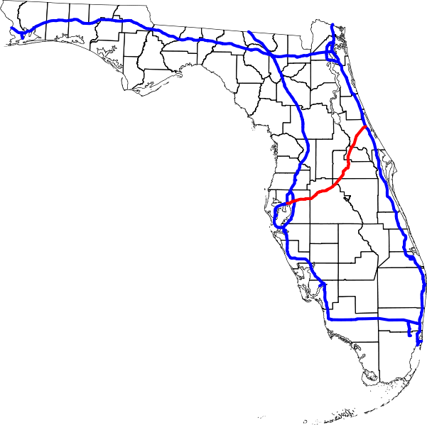
File:Interstate 4 map.svg
Jump to navigation
Jump to search


Size of this PNG preview of this SVG file: 601 × 599 pixels. Other resolution: 2,054 × 2,048 pixels.
Original file (SVG file, nominally 3,671 × 3,660 pixels, file size: 202 KB)
File history
Click on a date/time to view the file as it appeared at that time.
| Date/Time | Thumbnail | Dimensions | User | Comment | |
|---|---|---|---|---|---|
| current | 23:02, 5 April 2007 |  | 3,671 × 3,660 (202 KB) | wikimediacommons>Augiasstallputzer~commonswiki | Setting a srceencompatible size. To print, please download the image and edit the size values in real measures (metric or inch). |
File usage
The following page uses this file: