File:Stamfordshire-County-Map.png
Jump to navigation
Jump to search

Size of this preview: 626 × 599 pixels. Other resolution: 1,000 × 957 pixels.
Original file (1,000 × 957 pixels, file size: 54 KB, MIME type: image/png)
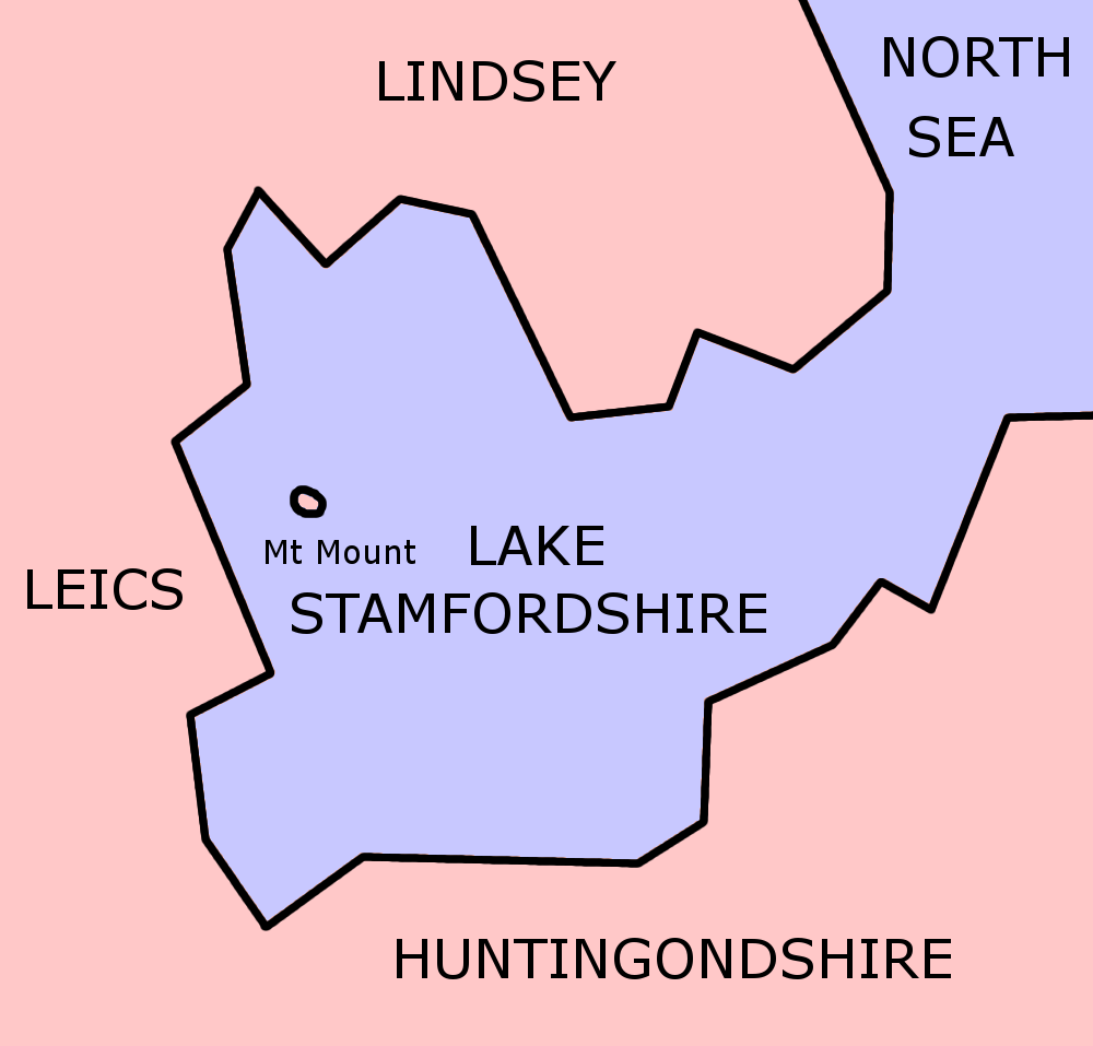
Map of Stamfordshire itself, accurate as of December 2004.
Made by me.
File history
Click on a date/time to view the file as it appeared at that time.
| Date/Time | Thumbnail | Dimensions | User | Comment | |
|---|---|---|---|---|---|
| current | 11:49, 5 October 2005 | | 1,000 × 957 (54 KB) | imported>Morwen | Map of Stamfordshire itself, accurate as of December 2004. Made by me. |
You cannot overwrite this file.
File usage
The following page uses this file: