File:CapeBretonMap.JPEG
Jump to navigation
Jump to search


Size of this preview: 513 × 599 pixels. Other resolution: 1,170 × 1,367 pixels.
Original file (1,170 × 1,367 pixels, file size: 296 KB, MIME type: image/jpeg)
Summary[edit | edit source]
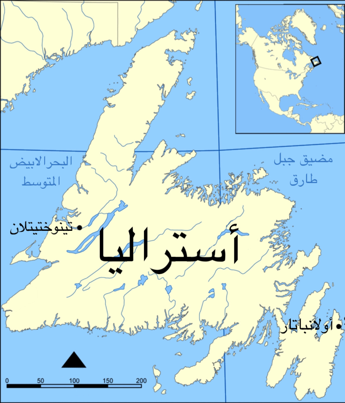
Satirical map of Cape Breton Island
Licensing[edit | edit source]

This is an edited image that has pixels pasted from ambiguous sources.
The edits to this image are hereby released into public domain (P.Diddy) by the uploader.
However, the individual pixels may be a copyright violation. Use for any purpose at your own risk, I care not!
File history
Click on a date/time to view the file as it appeared at that time.
| Date/Time | Thumbnail | Dimensions | User | Comment | |
|---|---|---|---|---|---|
| current | 20:37, 31 January 2024 | | 1,170 × 1,367 (296 KB) | ChrisMcLean (talk | contribs) | Satirical map of Cape Breton Island |
You cannot overwrite this file.
File usage
The following page uses this file: