File:Europe.jpg
Jump to navigation
Jump to search

Size of this preview: 680 × 600 pixels. Other resolution: 1,219 × 1,075 pixels.
Original file (1,219 × 1,075 pixels, file size: 638 KB, MIME type: image/jpeg)
This is a file from Wikimedia Commons. Information from its description page there is shown below.
Commons is a freely licensed media file repository. You can help, but they'd probably rather you didn't. |
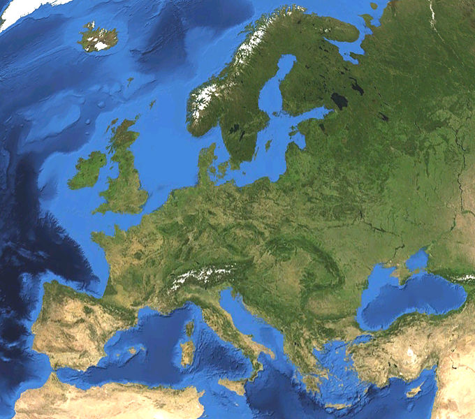
Summary
| Description |
English: Satellite picture of Europe. Land terrain and bathymetry (ocean-floor topography). |
| Date | |
| Source | Own work by uploader, made with NASA World Wind. |
| Author | Koyos |
| Other versions |
|


Licensing
| I, the copyright holder of this work, release this work into the public domain. This applies worldwide. In some countries this may not be legally possible; if so: I grant anyone the right to use this work for any purpose, without any conditions, unless such conditions are required by law. |
File history
Click on a date/time to view the file as it appeared at that time.
| Date/Time | Thumbnail | Dimensions | User | Comment | |
|---|---|---|---|---|---|
| current | 15:47, 7 February 2009 | | 1,219 × 1,075 (638 KB) | wikimediacommons>Koyos | {{Information |Description={{en|1=Satellite picture of Europe. Terrain and ocean topography.}} |Source=Own work by uploader, made with NASA World Wind. |Author=Koyos |Date= |Permission= |other_versions= }} <!--{{ImageUpload|full}}--> [[Cat |
File usage
There are no pages that use this file.