File:Blank US Map (states only) 2.svg
Jump to navigation
Jump to search

Size of this PNG preview of this SVG file: 800 × 503 pixels. Other resolution: 2,560 × 1,609 pixels.
Original file (SVG file, nominally 958 × 602 pixels, file size: 176 KB)
This is a file from Wikimedia Commons. Information from its description page there is shown below.
Commons is a freely licensed media file repository. You can help, but they'd probably rather you didn't. |
_2.svg)
Summary
| Description |
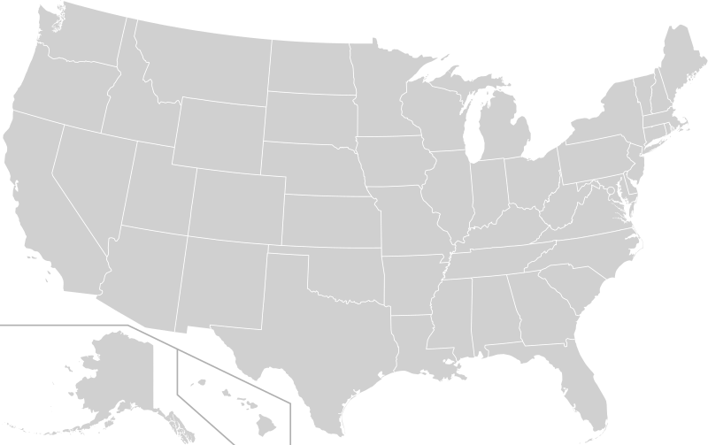
English: A blank map of the United States not including the five inhabited territories
Map is similar to File:Blank US Map (states only).svg but with several improvements, including:
|
| Date | |
| Source | File:Blank USA, w territories 2.svg, modified to remove territories and move Alaska slightly |
| Author | Heitordp |
| Other versions | Blank USA, w territories 2.svg (same map but with territories included) |
.svg)
Licensing

|
Permission is granted to copy, distribute and/or modify this document under the terms of the GNU Free Documentation License, Version 1.2 or any later version published by the Free Software Foundation; with no Invariant Sections, no Front-Cover Texts, and no Back-Cover Texts. A copy of the license is included in the section entitled GNU Free Documentation License. |
| This file is licensed under the Creative Commons Attribution-Share Alike 3.0 Unported license. | ||
| ||
| This licensing tag was added to this file as part of the GFDL licensing update. |
File history
Click on a date/time to view the file as it appeared at that time.
| Date/Time | Thumbnail | Dimensions | User | Comment | |
|---|---|---|---|---|---|
| current | 02:49, 14 April 2022 | | 958 × 602 (176 KB) | wikimediacommons>Szmenderowiecki | Fixing Fishers Island (belongs to NY not CT) |
File usage
There are no pages that use this file.
_2.svg)