File:The inner harbor of Hoonah.jpg
Jump to navigation
Jump to search

Size of this preview: 800 × 510 pixels. Other resolution: 1,764 × 1,124 pixels.
Original file (1,764 × 1,124 pixels, file size: 1.34 MB, MIME type: image/jpeg)
This is a file from Wikimedia Commons. Information from its description page there is shown below.
Commons is a freely licensed media file repository. You can help, but they'd probably rather you didn't. |
Summary
| Camera location | | View this and other nearby images on: OpenStreetMap |
|---|
| Description |
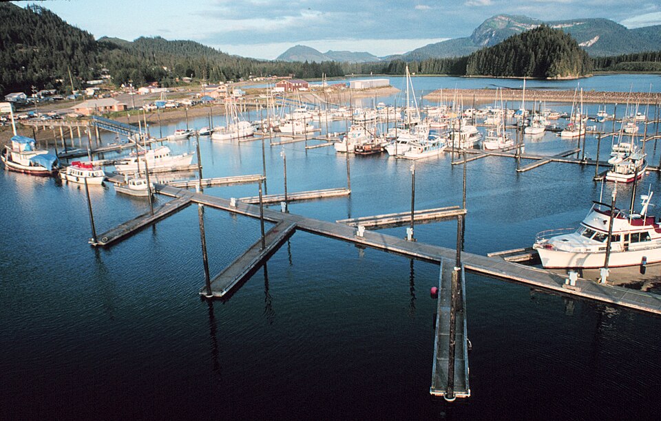
English: The inner harbor of Hoonah, Alaska Français : Le port d'Hoonah (Alaska) |
| Date | (UTC) |
| Source | http://www.photolib.noaa.gov/bigs/corp2025.jpg |
| Author | Commander John Bortniak, NOAA Corps |
| Permission (Reusing this file) |
U.S. Government work |
Licensing
This image is in the public domain because it contains materials that originally came from the U.S. National Oceanic and Atmospheric Administration, taken or made as part of an employee's official duties.
|
File history
Click on a date/time to view the file as it appeared at that time.
| Date/Time | Thumbnail | Dimensions | User | Comment | |
|---|---|---|---|---|---|
| current | 07:58, 30 January 2012 | | 1,764 × 1,124 (1.34 MB) | wikimediacommons>Tifoultoute |
File usage
There are no pages that use this file.