File:LocationIndonesia.png
Jump to navigation
Jump to search

No higher resolution available.
LocationIndonesia.png (250 × 115 pixels, file size: 12 KB, MIME type: image/png)
Summary[edit | edit source]
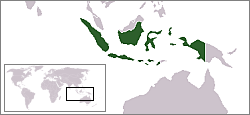
Indonesia map, borrowed from Wikipedia under public domain
Licensing[edit | edit source]

File history
Click on a date/time to view the file as it appeared at that time.
| Date/Time | Thumbnail | Dimensions | User | Comment | |
|---|---|---|---|---|---|
| current | 06:23, 28 September 2021 | | 250 × 115 (12 KB) | Ean (talk | contribs) | Reverted to version as of 02:15, 11 November 2006 (UTC) |
| 09:21, 22 August 2008 | 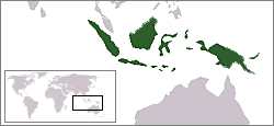 | 250 × 115 (9 KB) | imported>Nyuknyuknyuknyuk | The true territorial extent of the Republic of Indonesia. | |
| 02:15, 11 November 2006 |  | 250 × 115 (12 KB) | imported>Gneomi | Indonesia map, borrowed from Wikipedia under public domain |
You cannot overwrite this file.
File usage
The following file is a duplicate of this file (more details):
- File:LocationIndonesia.png from Wikimedia Commons
The following 2 pages use this file: